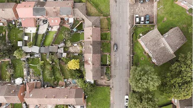
Construction Drones are fast becoming a crucial tool in the construction industry. It is in actual fact, the fastest adapter of the incredible technology. Some of the amazing capabilities include it being easy to collect, safe, extremely quick to accurately help companies keep track of their on-site progress, streamline communication and decision-making, spot for errors, and keep staff on-the-ground clear of danger.
Hiring a drone to conduct a survey or to provide a birds eye mapping view can save your company thousands of pounds as well as reduce your costs for hiring expensive teams of scaffolders and site inspectors.
1. Strategic planning
Get a full view of your project from start to finish at a fraction of the cost.
2. 360 solutions
Enjoy a 360 virtual tour of building sites as well complete builds.
3 . vision creation
Be inspired with unique views of potential spaces and open your mind up to new possibilities.
OPTIMISE PROJECT MANAGEMENT
Drones can save your company thousands of pounds.
Track Progression
Progress Reporting – It’s critical to keep all stakeholders in the construction process updated. Progress reports are an excellent method to keep track of activities, keep investors informed, and save money by staying on schedule. Drones collect reliable and timely data, which can then be converted into reports for later use. To check site progress, the data can be represented as 3D models of the site, orthomosaic maps, and other photogrammetry data.
Monitoring – Using high-resolution drones to monitor construction sites and progress is a critical duty for contractors. Excellent quality photography and videography can be created on-site at flexible times with weekly and monthly site visits. Subcontractors, supplies, equipment, and stockpile volumes can all be tracked by contractors and construction businesses.
GIS is emerging alongside drone technology in surveying. When compared to old methods, obtaining drone data quickly is now a feasible process that can be completed in seconds. The expert pilots arrive on-site to acquire all airborne data required for photogrammetry while causing little disruption to ongoing construction or activities.
Inventory management is a difficult undertaking because it requires keeping track of all the material, equipment, and inventory on-site. Captured drone data, along with photogrammetry, can allow you keep an eye on the assets at your leisure rather than spending hours at the work site.
Volumetric Estimation – Construction companies can keep track of the size of materials entering and departing the site using precise volumetric measurements. Time and money are saved as a result of stockpile measurement.