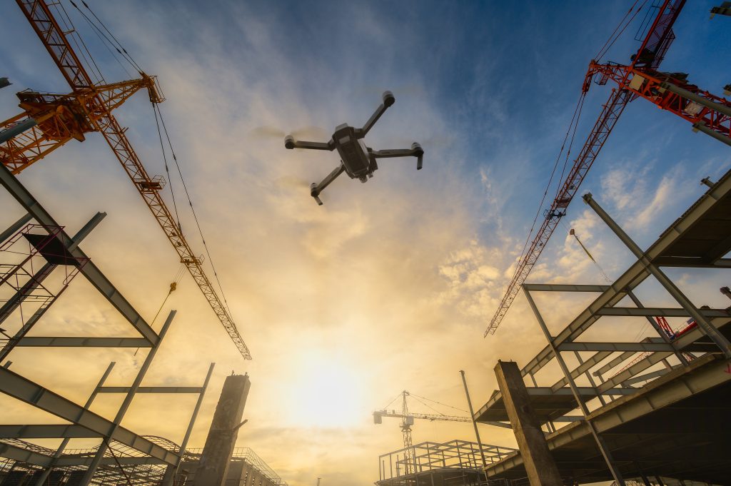
Drones, also known as unmanned aerial vehicles (UAVs), have been rapidly gaining popularity across various industries in recent years. One such industry where drones are being increasingly used is construction. Drones are being used for a variety of purposes in construction, including surveying, mapping, and inspection. In this article, we will focus on the use of drones for construction surveysing.
Traditionally, construction surveying involves using ground-based surveying equipment such as total stations and GPS receivers to measure and map the construction site. However, this process is time-consuming and requires a lot of effort. Moreover, the accuracy of the measurements can be affected by factors such as weather conditions, terrain, and human error. This is where drones come in.
Advantages of doing drone construction surveys
Using drones for construction surveying offers several advantages over traditional surveying methods.
Efficiency: Firstly, drones are faster and more efficient. They can cover a larger area in a shorter amount of time than ground-based equipment. This means that surveys can be completed more quickly and construction projects can progress more rapidly.
Accuracy: Secondly, drones are more accurate. They can capture detailed images and data, which can be processed using software to generate highly accurate 3D models and maps. This can help to reduce errors and ensure that construction projects are built to the correct specifications.
Safety: Finally, drones are safer. They can access hard-to-reach areas and hazardous locations, reducing the need for workers to climb ladders or work at heights.
Types of drones for construction surveys
There are several types of drones that can be used for construction surveying. Fixed-wing drones are ideal for covering large areas quickly and can fly for long periods of time. Multirotor drones, such as quadcopters, are more manoeuvrable and can fly in tight spaces. They are also able to hover in one place, which makes them ideal for capturing detailed images and data. Additionally, some drones are equipped with high-resolution cameras, LiDAR sensors, and thermal imaging cameras, which can capture a range of data and provide valuable insights for construction surveying.
Conducting drone construction surveys
To use drones for construction surveying, a licensed and experienced drone pilot is required. The pilot will fly the drone over the construction site, capturing images and data that can be used to create 3D models and maps. This data can be processed using specialized software to produce accurate survey data that can be used to guide construction projects. This data can also be shared with various stakeholders, including architects, engineers, and construction workers, to ensure that everyone is on the same page.
In conclusion, drone construction surveys are rapidly becoming the norm in the construction industry. Drones offer several advantages over traditional surveying methods, including speed, accuracy, and safety. They are also able to capture a wide range of data, which can be processed to generate highly accurate 3D models and maps. As the technology continues to evolve, it is likely that drone surveying will become an even more important tool for construction surveying in the years to come.