Land Surveying
Land surveying is taking measures of a specific piece of land prior to the start of a construction project. Before crews break ground, a lot of planning and design goes into it. Surveyors use these measurements and data to identify a property’s attributes and limits.
A land survey is the first step in almost any property development project. Surveys provide vital information that enables informed decision-making in a variety of areas, including construction site planning, infrastructure design, and maintenance, and more. To make maps and measurements of the land, high-tech surveying equipment and a lot of arithmetic are used.
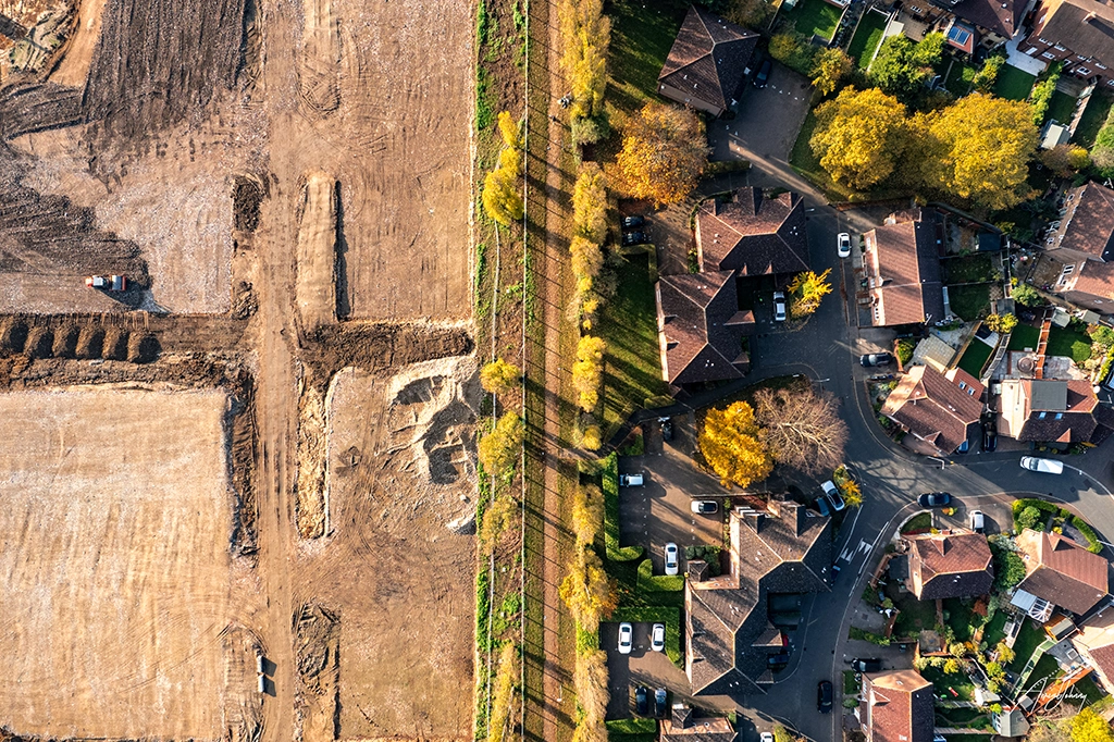
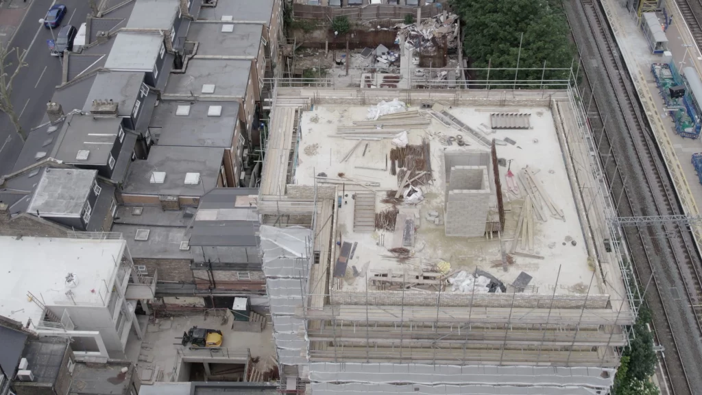
A drone, or unmanned aerial vehicle, is one piece of equipment that is utilised for this purpose (UAV). Drones provide a more comprehensive view of the job at hand. Topographic surveys of the same quality as traditional methods can be created with a drone.
Planning for urban areas
Drones can be utilised in urban planning for both data collection and modelling. They can efficiently monitor environmental and social factors and use reliable measures to support decision-making.
One of the most transformational technologies used by drones in urban planning is LiDAR, which was previously only the province of planes, helicopters, and even satellites – until drones arrived.
LiDAR sensors, which function by measuring distances of a laser light illuminating a target and calculating the return signal, are now incredibly lightweight and can be put on drones thanks to technical breakthroughs. This can be used to overlay buildings on a 3D model, giving planners a more realistic image of a project and allowing for more precision in design.
In the end, deploying drones for urban planning means relying on considerably fewer humans on the ground.

Drone Technology’s Benefits
Aerial data is captured with downward-facing sensors when surveying terrain with a drone. These sensors can be used to image the land from various perspectives multiple times. Because of their ability to take data from above and generate various sorts of maps, drones have been successfully integrated into land surveying.
The following are some of the other benefits of employing drones for land surveying:
1. Less time on the field and lower costs
Land surveyors might take days, if not weeks, to compile information for larger sites using traditional methods. Using drone technology to collect the same data saves time. Drones can capture topographic data up to five times faster than land-based approaches.
2. Less disruption
Drones will collect data from above, so operations on the ground won’t be disrupted.
Using a drone also saves time and money. When you have a drone to scan the area, you don’t need many specialists on site. Highways and train tracks don’t need to be shut down. Using a drone to collect data during a project operation causes no disruptions.
3. More precise and accurate data
Drone cameras take a succession of high-resolution photographs from various angles, resulting in thousands of precise data points such as geo-references, elevation points, and colour. Developers can use this to make 3D models of a site or building. Clients can view more than what is available in a standard survey.
The maps made with drone data can be used to derive extremely precise distances and volumetric metrics. When a drone is used to survey land, the data appears to be more realistic. When a new commercial project is in the works, the movies and photographs captured from the drone are a valuable resource for clients and the general public.
4. Map Areas previously inaccessible
Land surveying is a potentially hazardous profession. Drone surveys minimise the need for surveyors to travel across unfamiliar territory. This assists in negotiating high-risk places such as rail lines and mountainous terrains.
Drone surveying offers high-quality results in a timely, cost-effective, and safe manner. They can fly at lower altitudes, making data collection more accurate, faster, and less expensive, especially under adverse weather circumstances like cloud cover. Drones are employed in a variety of building projects all over the world.
At AerialJohnny, our CAA-licensed commercial drone pilots are experienced in managing the drone survey process. We have experience in all phases of surveying for the successful completion of any project. Contact us today to get started on your next project.